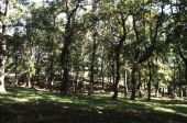
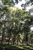
The Wood of MontepianoIt occupies an area of about 800 hectares, distributed along a height band ranging from 750 to 1158 m. above sea level, with prevailing exposures in the north quadrant. To the east and southeast, it overlooks the plain of Metaponto, while to the west it connects to the eastern ridge of the Lucanian Apennines.
From a geological point of view, the subsoil belongs to the Miocene and the Cretaceous Miocene, with formations of:
• Grey feldspathic slates and sandstones, with white marly limestone and flint nodules at the base;
• Quartz sandstone, with little clay binder, grey limestones in large banks, with subtle intercalations of grey and greenish slates;
• Scattered polychrome shales with small flakes, generally encompassing packs of calcirudite and grey limestones with remade foraminifers.
The soils belong to the series of non-leached Mediterranean brown lands. The watercourses are part of the river basin of the Cavone River (tributary of the Ionian Sea) and are mostly seasonal: the main ones are the Salandrella stream, with the tributaries Giovinazzo, S.Giovanni, Grottiglio, Vaddienna, Zingaro and torrent Poste with the tributaries Castria, Scazzarelli, Guallenida, Pullice, Valle Gannega.
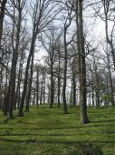
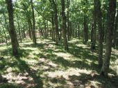
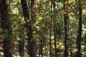
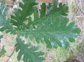
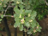
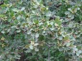
The arboreal layer consists of oaks (Turkey oak and related hybrids) with a subordinate participation of pear and wild apple, Neapolitan alder, maples.
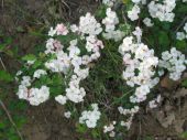
The shrub layer variously distributed in density and composition, depending on the characteristics of the species is mainly composed of brambles, dogwoods, hawthorns, holly, plum trees.
In the primitive forest, the population is much richer and diversified by the presence of other deciduous trees, including maples and lindens and, higher up, also by white fir, as in the not far Abetina di Laurenzana.





 Il presente sito si ispira alle nuove linee guida di design per i servizi web delle PA